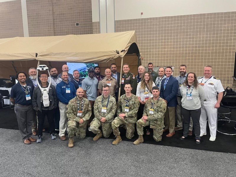
LIDAR is an acronym of "light direction and ranging" or "laser imaging, detection, and ranging") is a method for determining ranges by targeting an object or a surface with a laser and measuring the time for the reflected light to return to the receiver. Lidar may operate in a fixed direction (e.g., vertical) or it may scan multiple directions, in which case it is known as lidar scanning or 3D laser scanning, a special combination of 3-D scanning and laser scanning. Lidar has terrestrial, airborne, and mobile applications.
Lidar is commonly used to make high-resolution maps, with applications in surveying, geodesy, geomatics, archaeology, geography, geology, geomorphology, seismology, forestry, atmospheric physics, laser guidance, airborne laser swathe mapping (ALSM), and laser altimetry. It is used to make digital 3-D representations of areas on the Earth's surface and ocean bottom of the intertidal and near coastal zone by varying the wavelength of light. It has also been increasingly used in control and navigation for autonomous cars and for the helicopter Ingenuity on its record-setting flights over the terrain of Mars.
A digital twin is a virtual representation of real-world entities and processes, synchronized at a specified frequency and fidelity.
The foundational elements of the definition are captured in the first sentence: the virtual representation, the real-world entities and processes it represents, and the mechanism by which the virtual and real-world entities are synchronized.
Building information modeling (BIM) is the holistic process of creating and managing information for a built asset. Based on an intelligent model and enabled by a cloud platform, BIM integrates structured, multi-disciplinary data to produce a digital representation of an asset across its lifecycle, from planning and design to construction and operations.
Credit https://www.autodesk.com/solutions/aec/bim