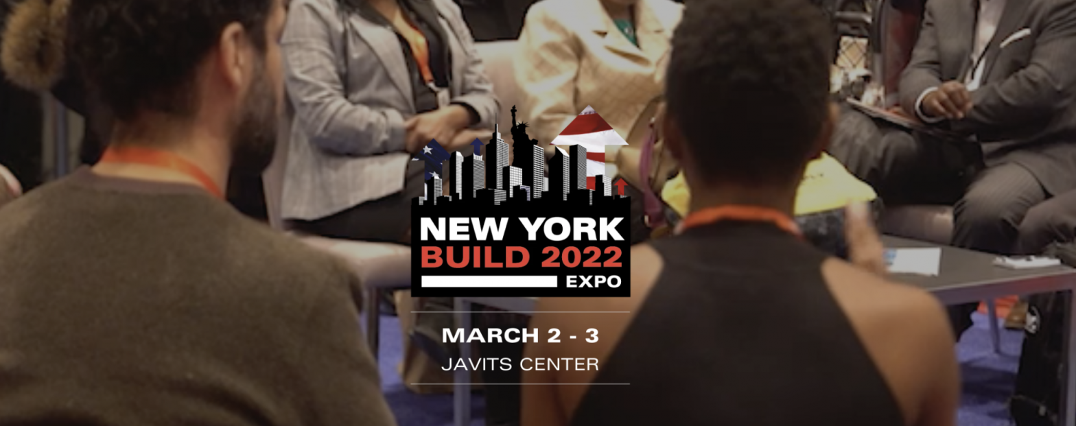
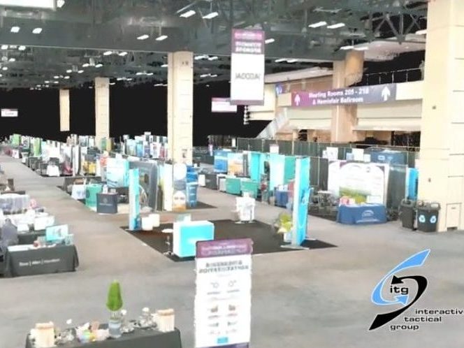
NEW YORK’S LEADING CONSTRUCTION & DESIGN SHOW
New York Build Expo, March 2-3rd 2022 Come visit ITG @ Booth #851! New York Build is the leading construction and…


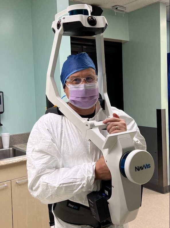
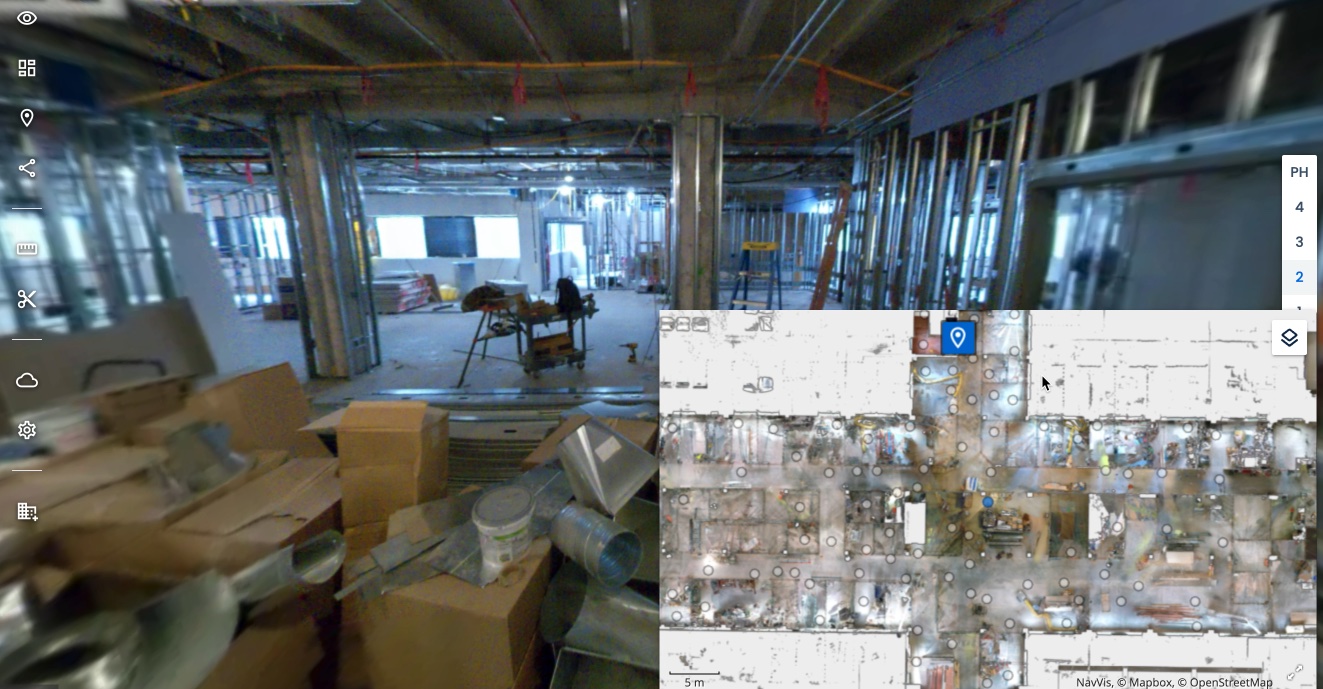
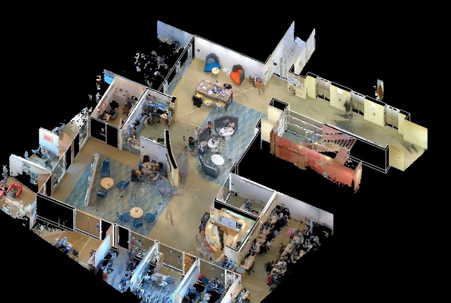
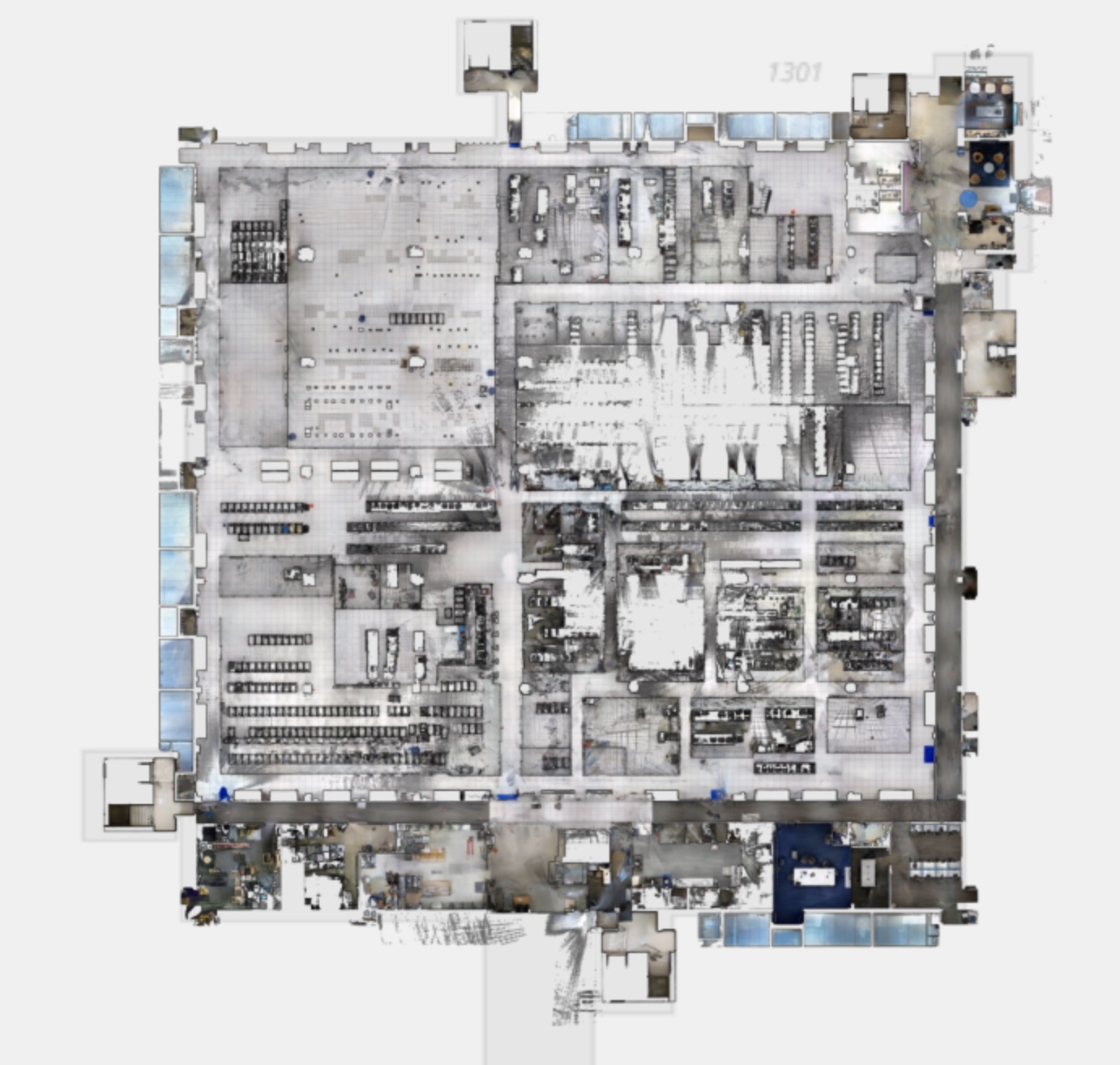
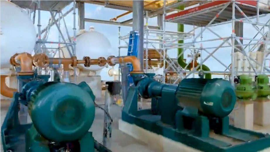
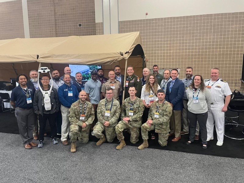
We offer 3D Laser Scanning services, Digital Twin creation, Reality Capture, BIM modeling, drone survey work, and AR/VR/XR integration to Architecture, Engineering, and Construction industries worldwide. Our cutting-edge technology and expert team provide accurate and efficient solutions for your projects.
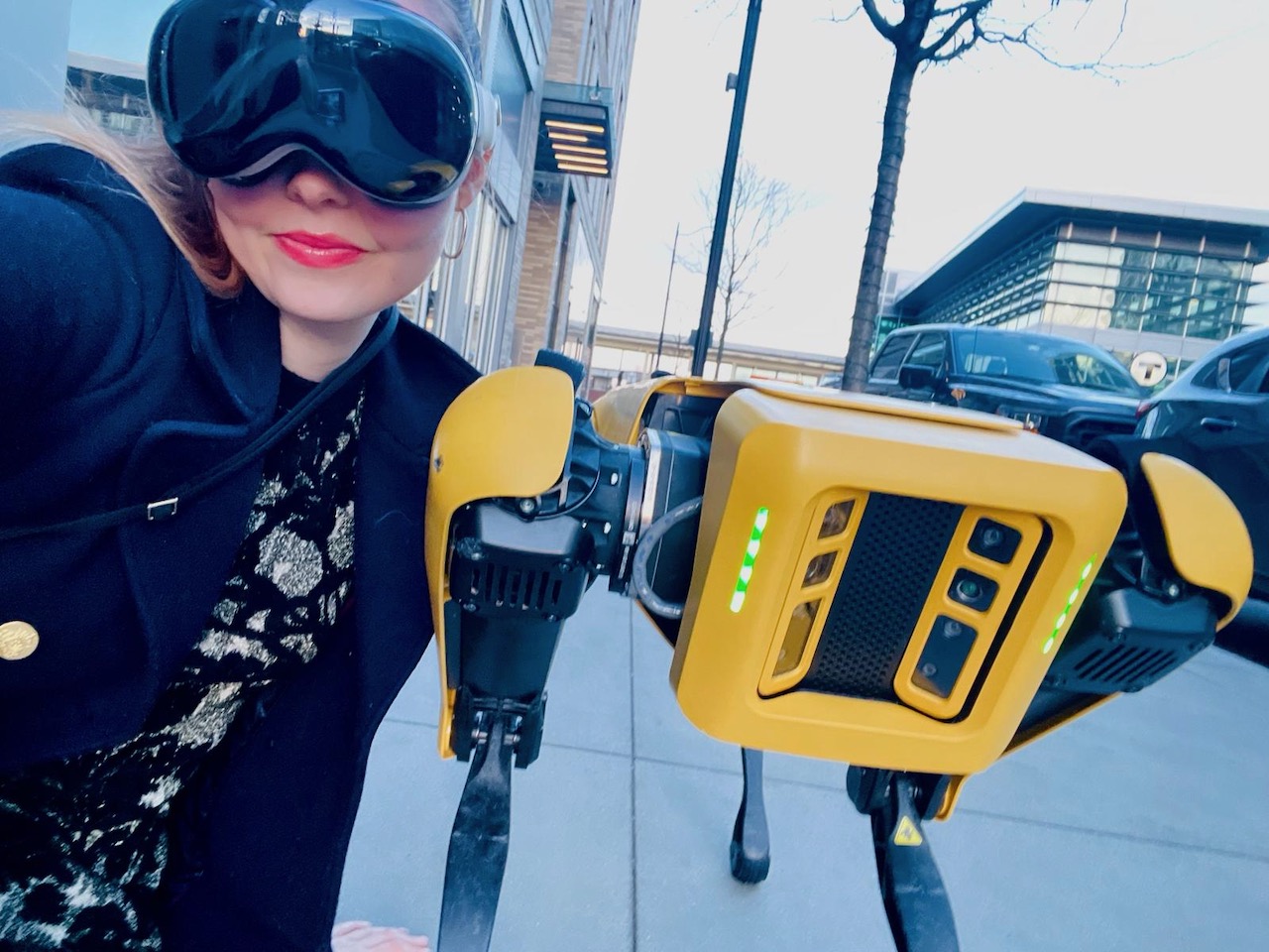
Our 3D Laser Scanning services include high-resolution scans, point cloud data, and 3D models. We also offer Digital Twin creation and visualization, providing you with a complete digital replica of your project. Our services cater to the specific needs of Architecture, Engineering, and Construction industries.